x

Indiastatmedia - A Self-Serving Media Platform

Welcome to indiastatmedia! - A self-serving media platform having curated data in various visually appealing formats - INFOGRAPHICS, MAPS and VIDEOS. Infographics Cards have socio-economic data, agricultural data of India, election data of India etc. The data is arranged segment-wise and year-wise with easy navigation so that you can easily access it. Scripted Infographics have a more detailed set of information combined with the text as well as suitable visual forms. The Animated Infographics have trends, comparisons, and other forms of data represented through bar charts, histograms, pie charts, and more.

There are MAPS of various parliamentary and assembly constituencies of India having details of villages and towns; they are developed for electoral research and other political analysis about India. Besides the election data, the maps are available on various other segments like Demography, Agriculture, Education, Tourism, Crime, Sports, and Health to name a few.

Much in demand, specially curated Videos on various segments are also featured here with suitable subtitles - something that is readymade for your presentations and other occasions.

So, whether you are a data analyst, business owner, student, political analyst or just someone keen to gain insights from data about India, this platform has something for you
Poll-Bound States 2023-24
Winner Parties in Assembly Elections - 2018
Madhya Pradesh
Total ACs 230
Rajasthan
Total ACs 200
Telangana
Total ACs 119
Chhattisgarh
Total ACs 90
Mizoram
Total ACs 40
ACs: Assembly Constituencies
  Madhya Pradesh Rajasthan Telangana Chhattisgarh Mizoram
Total Number of Assembly Constituencies 230 200 119 90 40
Total Number of Polling Stations 65367 51965 32814 23677 1170
Total Number of Parties Contested in 2018 119 86 93 61 6
Total Candidate Contested in 2018 2899 2294 1821 1269 209
Current Term Ending Date 06.01.2024 14.01.2024 16.01.2024 03.01.2024 17.12.2023

Indiastat Publications

ELECTION ATLAS OF INDIA

ELECTION ATLAS OF INDIA

A first-of-its-kind Election Atlas of India which depicts a journey of progression of parliament elections since independence in the form of impressive graphs, charts and thematic maps...

more

CONSTITUENCY FACTBOOK

CONSTITUENCY FACTBOOK

Each Factbook contains details of a parliamentary constituency - from historic election results to demographic and electoral features...

more

ASSEMBLY FACTBOOK

ASSEMBLY FACTBOOK

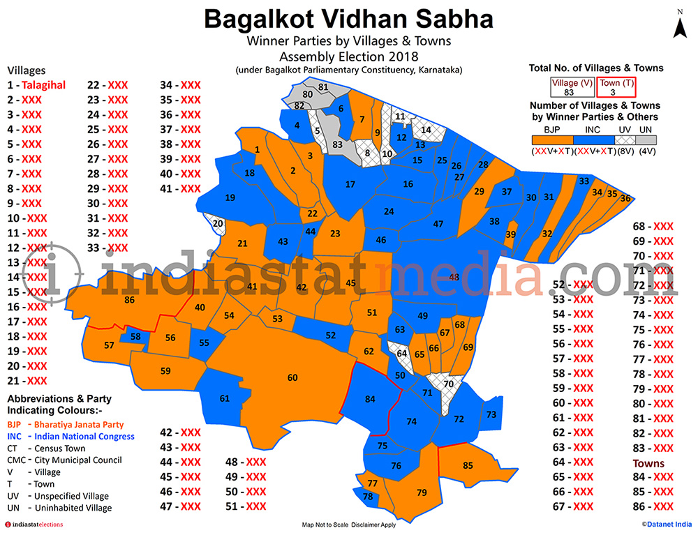
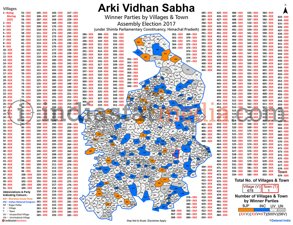
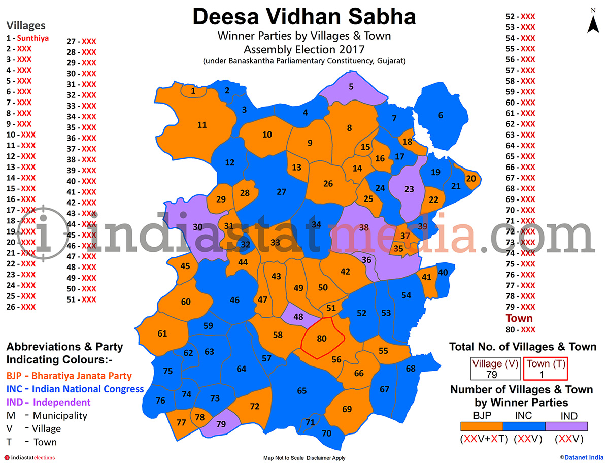
Each Factbook contains details of an assembly constituency - from historic election results to demographic and electoral features...

more

DISTRICT FACTBOOK

DISTRICT FACTBOOK

Each Factbook contains detailed information about a district including socio-economic, industrial, elections and many other aspects. Of the 640 districts of India, the Factbooks of 620 districts are available...

more